Accurate coordinates for the most used location codes in the shipping industry
Get corrected and validated UN/LOCODEs including coordinates without the major omissions and errors in other datasets.
Service description
Most ocean systems use the UN/LOCODE standard to describe ports, terminals, and other supply chain hubs. However, the dataset published by the UN is revised once a year and contains many omissions and manual data-entry errors.
CargoProbe uses an amended, validated and regularly updated dataset for its own systems. We provide our UN/LOCODE database through an API for use by other companies. If you want to plot a UN/LOCODE on a map, this is the best source you can get.
Service kenmerken
- API-koppelingGebruik van de service is mogelijk via een systeemkoppeling API.
- BetaaldAbonnementfee en/of transactiefee van toepassing.
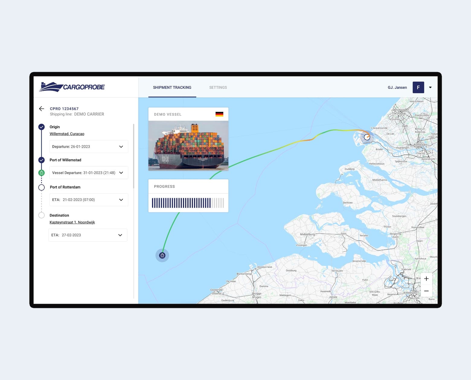
Solution interface
Testimonials

“CargoProbe is a major contributor to the UN/LOCODE dataset and participates in the process to add/amend locations.”
– Supply chain manager EMEA
Interested in this API?
Request this API
Are you ready to start using this service? Request the service here.
Do you have any general questions about the marketplace? Get in touch with Team Marketplace.

Related services
Discover more collections
Curious about the various themes in the Portbase Marketplace? Explore the solution collections and the associated services.

